
Route guide
Page Library
Route guide
A route guide for members of a running, walking, hiking or cycling club. It starts with a table comparing every regular route by distance, climbing and difficulty, explains the difficulty ratings, and then gives each route its own notes on parking, surface and the tricky bits. Safety callouts cover weather, wildlife and what to carry. Replace the routes with your own, keep the table up to date each season, and link each group run on your calendar to the route it uses.
Route guide
Every regular Summit Trail Runners group run uses one of these eight routes. Use this guide to pick the right one for your training, know what to expect, and get home safely when you run them on your own.
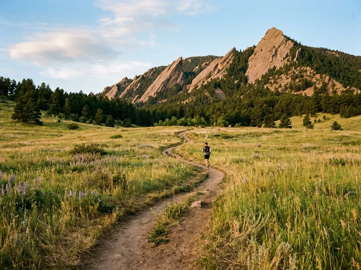
All routes at a glance
| Route | Start | Distance | Elevation gain | Difficulty | Group run |
|---|---|---|---|---|---|
| Chautauqua Loop | Chautauqua Ranger Cottage | 3.2 mi | 480 ft | Easy | Saturday Starter |
| Wonderland Lake | Wonderland Lake Trailhead | 4.1 mi | 210 ft | Easy | Wednesday evening |
| Mount Sanitas | Sanitas Trailhead | 3.3 mi | 1,340 ft | Hard | Tuesday dawn |
| Mesa Trail South | Chautauqua Ranger Cottage | 7.6 mi | 1,150 ft | Moderate | Thursday dawn |
| Betasso Loops | Betasso Preserve | 6.4 mi | 720 ft | Moderate | Sunday social |
| Heil Ranch Wapiti | Heil Valley Ranch | 8.5 mi | 1,050 ft | Moderate | Monthly long run |
| Green Mountain Loop | Chautauqua Ranger Cottage | 6.8 mi | 2,350 ft | Hard | Saturday long run |
| Bear Peak and South Boulder Peak | South Mesa Trailhead | 10.9 mi | 3,200 ft | Expert | Summer only |
How we rate difficulty
Easy
Wide, smooth paths with gentle climbs. Good for beginners, recovery runs and anyone new to trails.
Moderate
Some rocky sections and sustained climbs. You should be comfortable running 5 miles on roads first.
Hard
Steep, rocky climbs where most runners hike some sections. Expect to be slower than your road pace by several minutes a mile.
Expert
Long days above 8,000 feet with scrambling and exposure. Only with experience, a partner and full gear.
Route notes
Chautauqua Loop Easy
The friendliest introduction to Boulder trails. Leave from the Ranger Cottage, climb gently on the Chautauqua Trail, and return on the Bluebell Road. Water and restrooms at the start. Parking is paid on weekends from April to October; take the free park shuttle instead.
Mount Sanitas Hard
Short and steep. We go up the ridge on the Sanitas Trail and down the Sanitas Valley Trail. The ridge has rock steps and loose gravel; take the descent slowly and keep your hands free. No water at the trailhead.
Mesa Trail South Moderate
Rolling trail along the base of the Flatirons with views most of the way. Several junctions are poorly signed, so the group always regroups at the Bluebell, Enchanted Mesa and Shadow Canyon junctions.
Green Mountain Loop Hard
Up Gregory Canyon, over the summit at 8,148 feet and down Ranger Trail. Allow two to three hours. The summit is exposed to lightning: in summer we start at 6am and turn back if storms build before 10am.
Bear Peak and South Boulder Peak Expert
The biggest day in our guide. Fern Canyon is very steep and the final summit block needs hands. Summer only, with at least one experienced member, and never in snow or ice.
Staying safe
From June to August, thunderstorms build over the mountains most afternoons. Be off summits and ridges by noon. If you hear thunder, head down immediately and stay away from lone trees and rock outcrops.
Mountain lions, black bears and rattlesnakes all live on these trails. Run in groups at dawn and dusk, make noise on blind corners, and never run from a mountain lion: stand tall, face it and back away slowly.
Water (at least 16 oz per hour in summer), a phone with the route downloaded for offline use, a light wind layer, and a whistle. For Hard and Expert routes, add a headlamp, an emergency blanket and a snack.
- Tell someone where you are going and when you expect to be back.
- Check Open Space closures before you leave; seasonal wildlife closures change every spring.
- In an emergency, call 911. Boulder County Sheriff's Office coordinates trail rescues.
Found a closure, a fallen tree or a route that has changed? Email hello@example.com and we will update the guide.
Use this page
Make it yours in a few minutes
- Find it in your Control Panel. Go to Content > Page Library and search for "Route guide".
- Add it to your site. Choose a title and a department. The page arrives as a draft, with its pictures copied to your site and your site's name already in place.
- Change the words and pictures. Open it in the Membergate editor, replace the sample text and images with your own, and make it live when you are ready.